
Disclaimer: This post contains affiliate links to handpicked partners, including tours, gear and booking sites. If you click through or buy something via one of them, I may receive a small commission. This is at no extra cost to you and allows this site to keep running.
Graz’s green credentials stretch from the cultural to the culinary, but its dedication to reserving half its urban swath for green space means people can get into the great outdoors without leaving the city limits.
It’s not only the clock tower topping Schlossberg, the recreational stretch of Stadtpark and the city-splitting River Mur that meld the compact metropolis with nature. Go a few steps further, and you’ll find plenty of standout, marked hiking trails in and around the city, with trailheads reachable by the city’s cohort of trams and battery-electric and green-hydrogen buses.
I live in Austria, and after several visits to Graz, I still had not ventured to all the city’s green high points, where all views lead to the beacon, Schlossberg.
Here are two tried-and-tested routes to get you started: nature-bound trails that can be completed in a day, with plenty of time left for inner-city exploring.
READ MORE: How Graz is a Model Sustainable City
Hiking Around the City
10km / 4 hours / Easy
This trail circles the historical side of the city, a showcase of urban wilderness through the dense forests and hilltop woodland of the four ‘mountains’ of Kalvarienberg, Reinerkogel, Rosenberg and Schlossberg that rise between Graz’s residential districts.
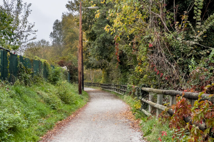
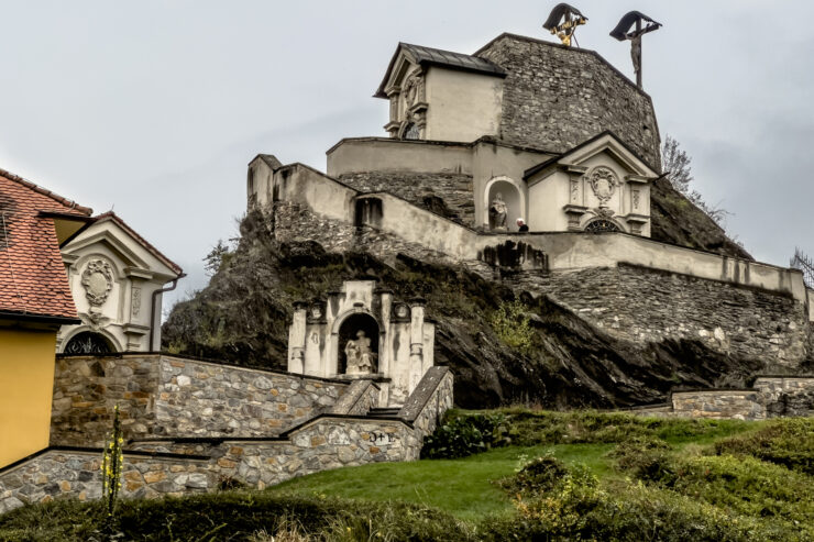
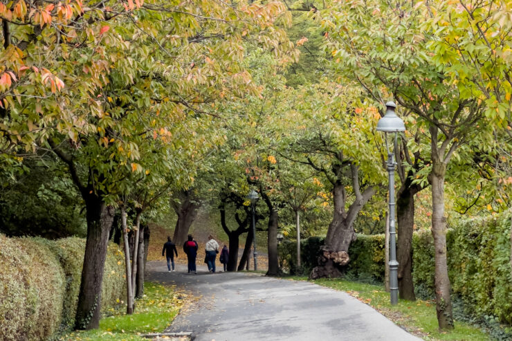
The fast-flowing River Mur is something I feel defines Graz – a body of water that cuts in front of the structurally striking historic district with its contemporary Murinsel structure nodding to the future. It’s also a trail anchor: a roadside path north that turns into a quiet, green-arched gravel path on a route towards the Kalvarienberg (Calvary Hill). This sacred mount was chiselled into a rocky hill in the 17th century, a Habsburg-era replica of Jerusalem’s Golgotha crucifixion hill and a pilgrimage circuit depicting the Passion of the Christ, leading to the golden crucified Jesus Christ on its peak. It might be only 30 minutes into the journey, but the pocket forest view from here shrouds the skyline enough that it feels far behind.
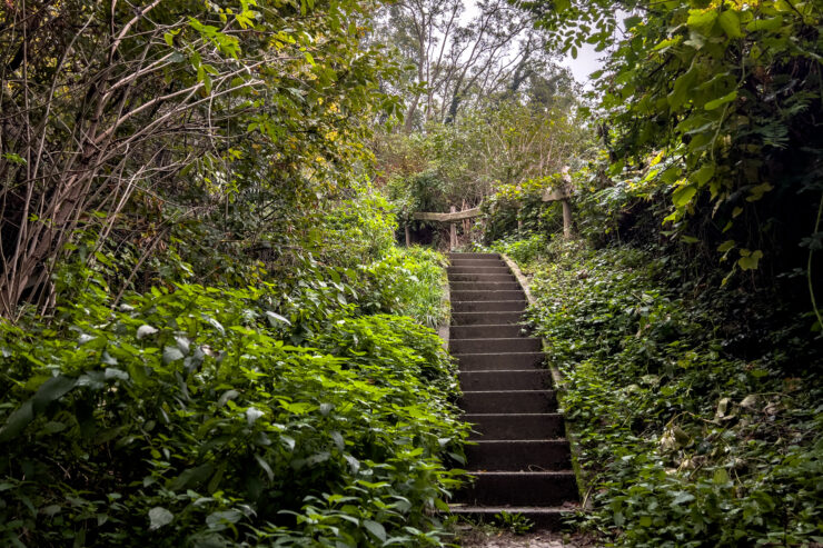
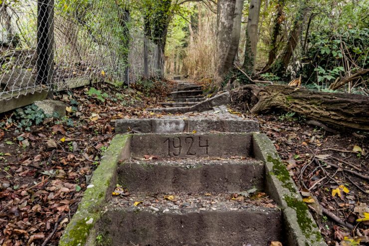
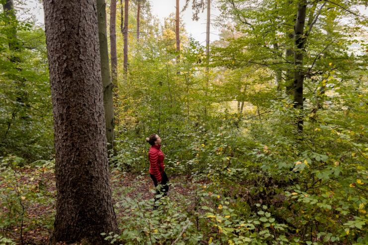
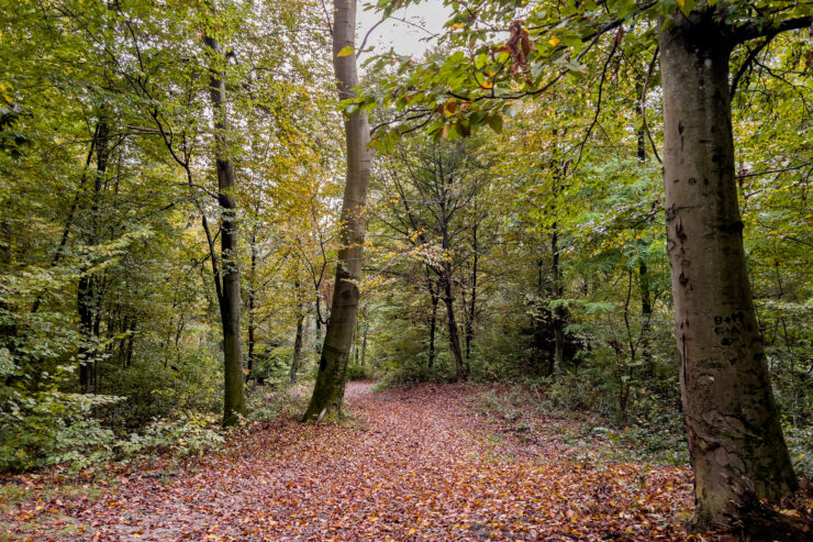
Crossing the Mur via the Calvary Bridge into the well-healed Geidorf district, I land at the foot of the Reinerkogel, whose summit is accessible via the 450 steep steps of the 100-year-old Jakobsleiter (Jacob’s Ladder) that charts a straight ascent through the woodland slope. This is the only stamina-inducing part of the trail, where you can say you’ve climbed one of Graz’s 7 Summits once you’ve reached the top – a wilderness forest with sky-poking beech trees and untamed foliage.
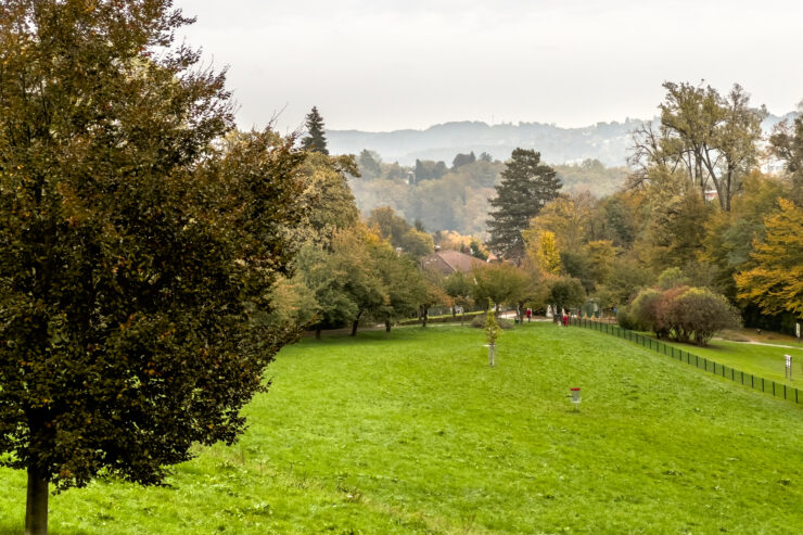
Taking the zigzag path downhill on the other side for another short saunter through Geidorf, it’s time to ascend Quellengasse – the road that leads to the top of the rippled hill, Rosenberg. There’s a terraced pavilion, Café Rosenhain, at its peak, tree-encased mansions beyond, and a basin for disk golf below – a thick of pond-dotted woodland rising just minutes from the northern fringe of Stadtpark.
Adding a little of Graz’s historical timeline, the entrance to the old city is via the old Paulustor gate, turning into the archway at Paulustorgasse 1, which screens the winding pathways up to the city’s iconic centrepiece, Schlossberg.
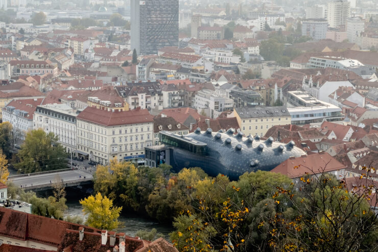
The public park’s weave of tracks connects viewing platforms and recreational spaces to prime-view restaurants and bars, the Graz Museum Schlossberg, and a live music venue. My favourite view – of the classic red-rooftop spread and the plumped blue friendly alien’ Kunsthaus – is from the Chinese Pavilion.
READ MORE: What to Do in Graz – The Mediterranean City of Austria
Hiking on the City Fringes
Trail: Fürstenstand – Head Up High
5km / 2 hours / Moderate to Difficult (if taking the shortcut forest tracks)
Strap on your hiking shoes, hop on Tram 1 west to Alt-Eggenberg and tackle a scenically steep forest ascent up the Plabutsch mountain to what is being dubbed as Graz’s best high-top city panorama – the Fürstenstand lookout tower.
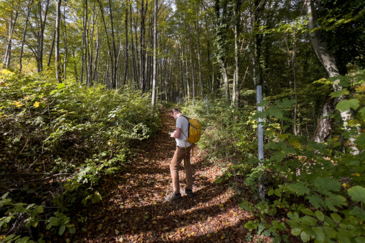
The hike starts in a classic hamlet close to 17th-century Eggenberg Castle, passing manor houses and stately palais before venturing into the woodland opening. This is more of a classic mountain hike, and I notice, in the huff and puff of the near-400m elevation on hiking trail 5, plenty of locals taking it in stride on muddy trails through the behemoth forest, with the odd scramble over or under a fallen tree.
Longer, wider trails curve up the mountain, but this route takes you straight through the thick of it on well-marked trails that look hardly traversed. Sturdy boots are required, and while you constantly have your eye on the forest floor and not the horizon (yet), you need to keep an eye on the trail markers and not venture onto the tracks carved only for the whooshing mountain bikers.
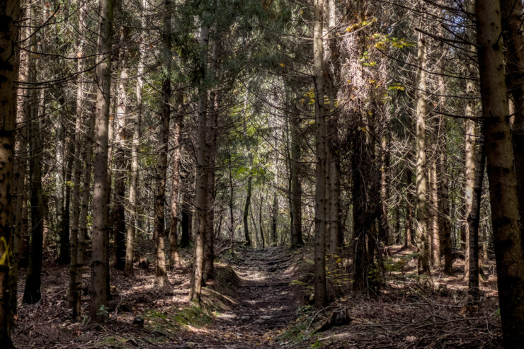
Soon, the stretch of sky lengthens, and you emerge from the forest and into the viewing area, whose mountain-top restaurant is so popular you’ll be lucky to snag a seat.
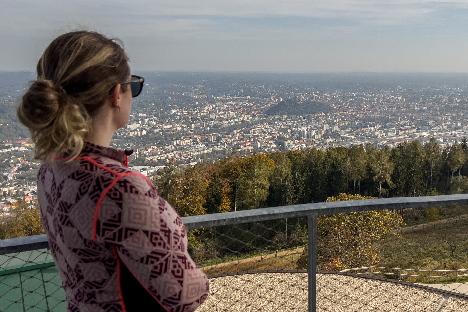
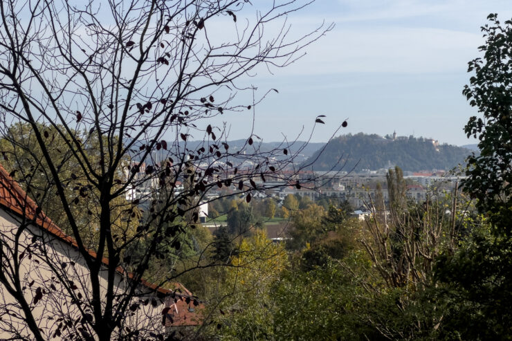
The Fürstenstand’s popularity is rooted in its imperial stamping after Archduke Johann clambered up here with his brother, Emperor Franz, in 1830 – the memorial stone marker still stands. Today’s stone-topper spiral platform adds an extra elevation at 758m and commands 360-degree views of Graz, its string of hills, the surrounding Styrian countryside and Slovenia on a clear day.
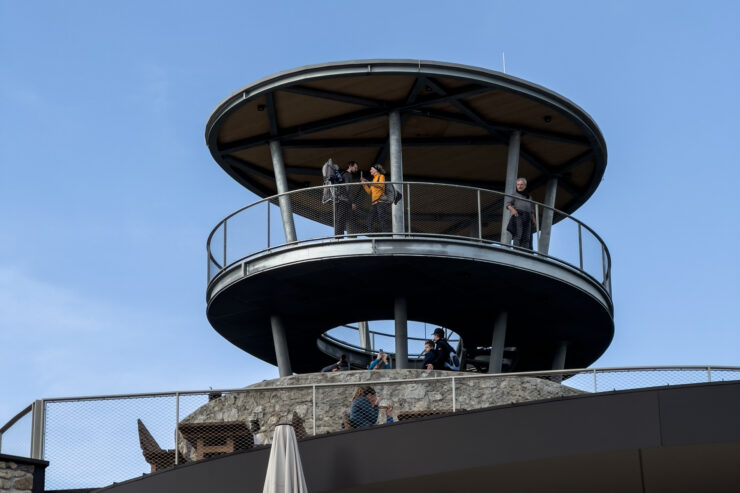
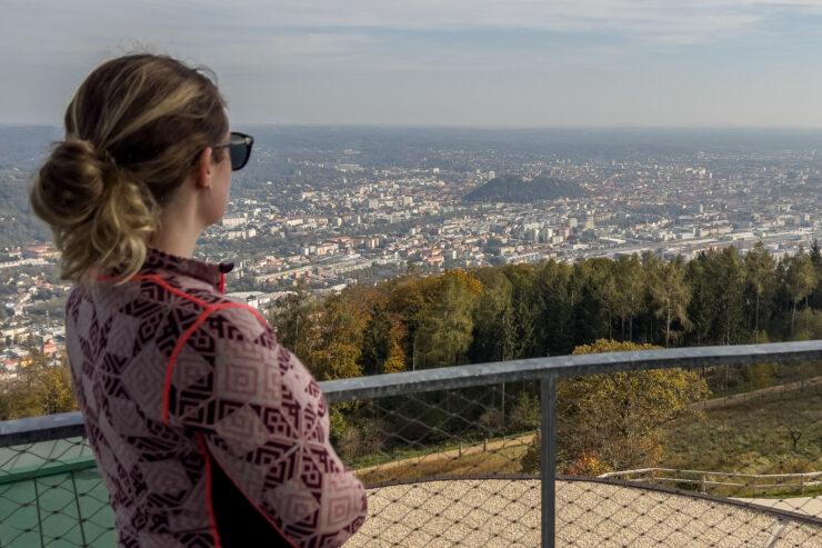
Like Graz protects nature, its hilltops are fortresses manned by the local eye; the Schlossberg overlooks the historic city, while the Fürstenstand guards wider Graz.
READ MORE: Best Day Trips from Graz – The Sites Surrounding the City



Leave a Reply